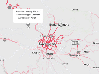
VizRisk Nepal Landslides - PopUp


Link to the project: www.deepmoire-maps.com/VizRiskNepal
In the many mountainous areas of Nepal, landslides – during monsoon season or from earthquakes – are a recurring threat. Landslides can have severe and lasting damage on infrastructure and livelihoods.
The aim of the interactive map is to unveil hidden patterns of landslide risk for the country, exploring digital techniques of georeferenced visualization to communicate topic and results. The analysis focuses on the Nepalese roads network and the risk impacting it.
Read the story: bit.ly/2kDCQUv