31 illustrated map of USA / part 2

About the Product
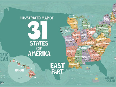
Hand drawn map of 31 east States of America: Iowa, Missouri, Arkansas, Louisiana, Mississippi, Alabama, Georgia, Tennessee, Kentucky, Illinois, Wisconsin, Michigan, Indiana, Ohio, Pennsylvania, New York, New Jersey, Rhode Island, Maine, Connecticut, Vermont, New Hampshire, Massachusetts, West Virginia, Virginia, Washington D.C., Maryland, Delaware, North Carolina, South Carolina, Hawaii.