Niagara Falls Regional Map

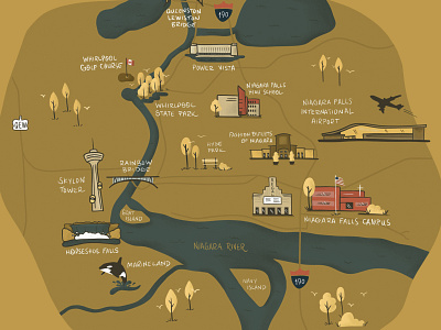
One in a series of large format illustrated maps portraying different towns and cities in Western New York. Designed at 40" wide and drawn in Procreate, this one captures some key landmarks in Niagara Falls, New York.
One in a series of large format illustrated maps portraying different towns and cities in Western New York. Designed at 40" wide and drawn in Procreate, this one captures some key landmarks in Niagara Falls, New York.