Transit USA

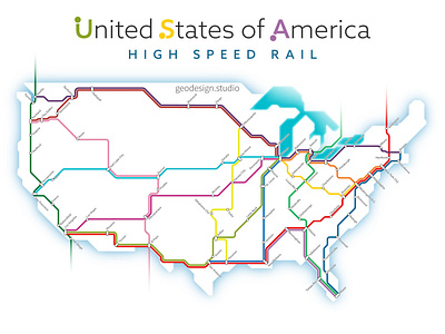
High speed rail has long been a goal for transit and transportation aficionados for a long time. And while it's still a long way off, this map shows what a potential high speed rail network in the USA looks like.
I used current Amtrak routes, logical connections, and geographic features to determine routes. You can see more of my transit maps here: https://geodesign.studio/portfolio/high-speed-and-regional-rail-transit-maps/