Rendered City Map with Highlighted Buildings


I extracted the 3d building data from a city in Colorado using OpenStreetMap®, then created highlighted perimeters to call out specific structures for location data to be overlaid onto.
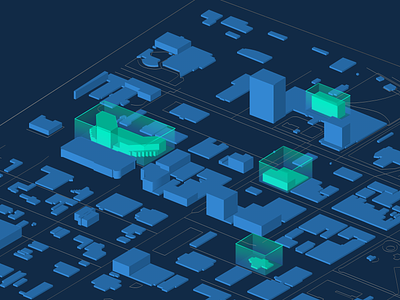
I extracted the 3d building data from a city in Colorado using OpenStreetMap®, then created highlighted perimeters to call out specific structures for location data to be overlaid onto.