


Secret Project
8
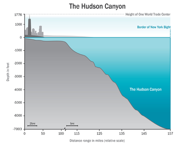
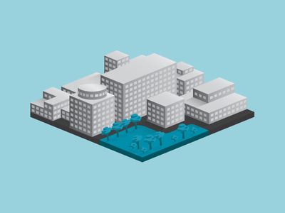
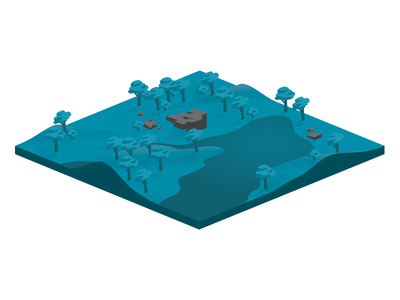
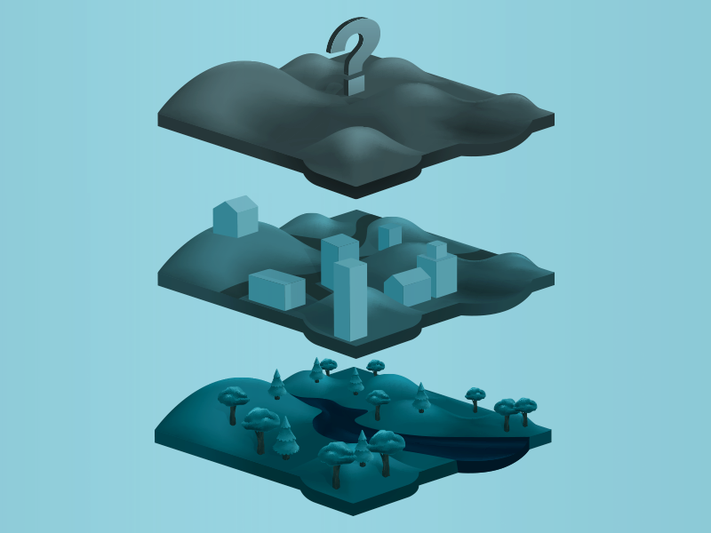
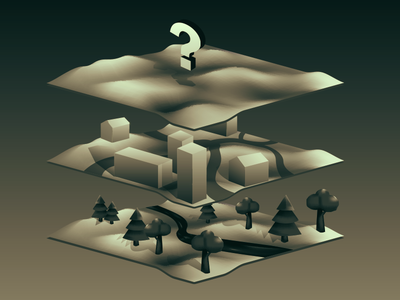
A big presentation / Infographic / something I'm working on at the Wildlife Conservation Society which I will reveal once finished.
More Projects


8
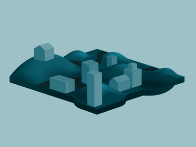
A big presentation / Infographic / something I'm working on at the Wildlife Conservation Society which I will reveal once finished.


