Satellite Imagery Explainer Illustration


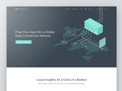
You are looking at a brainchild of a highly collaborative process with Native. It is a unified platform across the enterprise to task data for collection, visualize results, and collaborate in real time. The goal was to create an illustration that will shed some light on the process of data collection and showcase the potential of the service. Third party apps that do geospatial analysis would allow a user to see something in a satellite image, then task a user to go take a picture and augment or verify what they see.
Press "L" to show some love!
Don’t forget to follow Zajno on social media and feel free to drop us a line:
Website | TheGrid | Twitter | Instagram | Medium