FarmLogs Historical Satellite Imagery


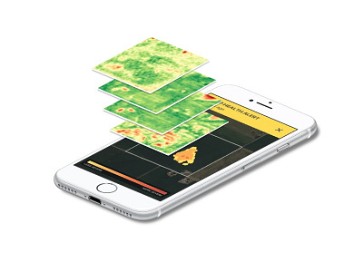
Here's a little graphic I made to help illustrate the science behind FarmLogs Crop Health Alerts for our new website.
*Here's the explanation:*
FarmLogs monitors the health of your crop against a baseline of how the field typically performs. That field’s baseline is calculated by using historical satellite imagery that dates back to 2009, along with images of the same season.
An alert is only sent when plant growth looks different than normal for a specific area in your field, which means you shouldn’t get notified unless we detect something out of the ordinary for that particular field.


