Kanuga Cartography Snapshots

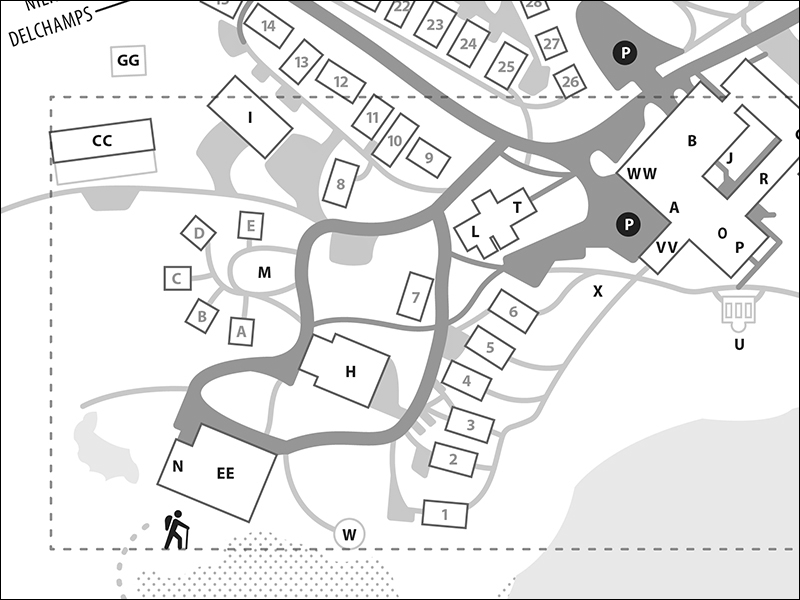
I recently wrapped up two vector maps for Kanuga—one that will help guests locate our campus and another that will help them navigate it once they arrive.
I recently wrapped up two vector maps for Kanuga—one that will help guests locate our campus and another that will help them navigate it once they arrive.


